Mapping and Geocoaching
Mapping the data means displaying the data in a map, to make spatial distributions or geographic positions of the data visible. By mapping the data is also made ready to be related to other spatially displayed datasets such as green-spaces or the distribution of environmental hazards. Mapping reqires geocoded data. Geocoding refers to connecting a spatial reference to a dataset. This can be done via several spatial references such as Geo-coodinates, GPS-coordinates, projected coordinates etc. The different spatial reference systems are suitable for different spatial scales of the intended mapping.
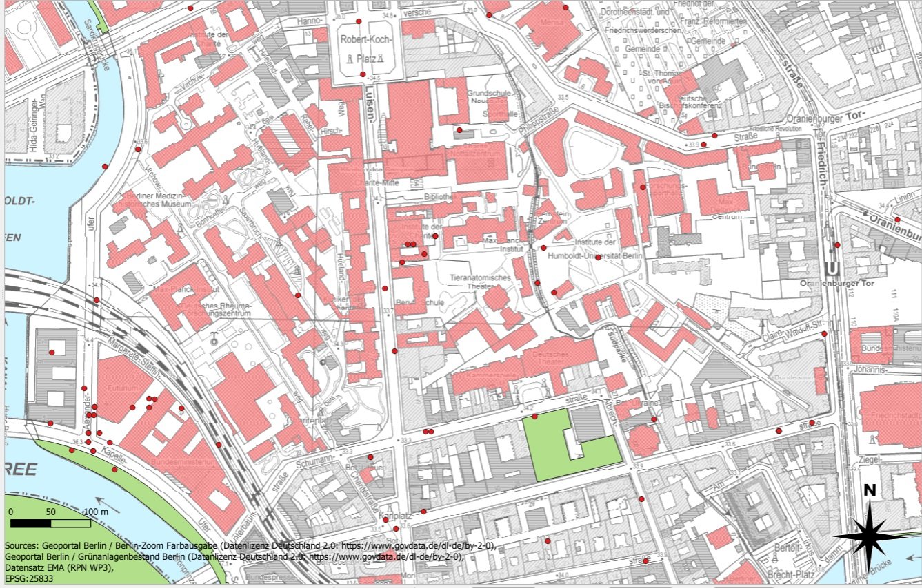
The georeferenced survey datasets (red dots) can be joined or overlayed with topographic or thematic maps from geodatabases to explore the association of topographical or environmental characteristics (for example green spaces) with mental conditions reported in the survey.